

Explore by type
What are you in the mood for?
 State parks & forests117 places, with cabins, campsites and trails117 places
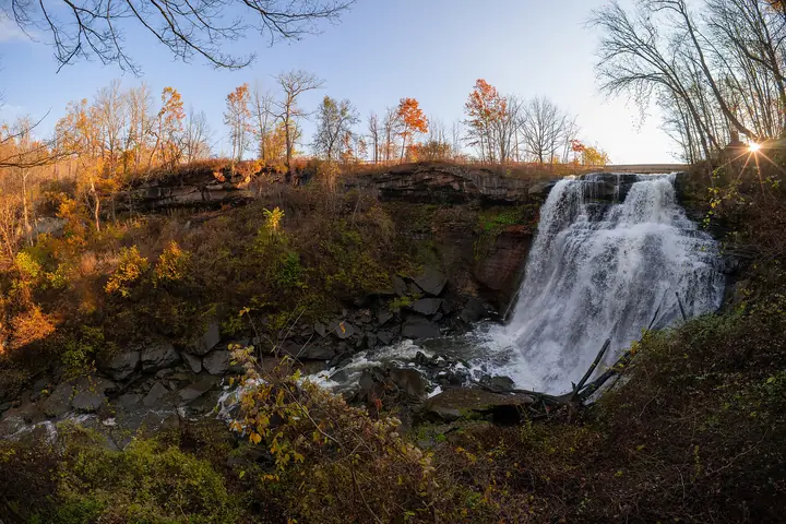 Waterfalls34 falls, with trail notes34 falls34 falls from the Cuyahoga Valley to the Hocking Hills, with trail notes and a map.
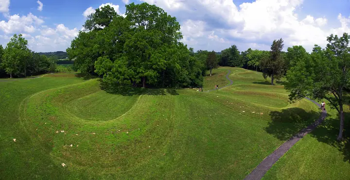 Mounds & earthworks64 ancient sites, from Serpent Mound to Newark64 ancient sites64 ancient sites, including the Great Serpent Mound and the Newark Earthworks.
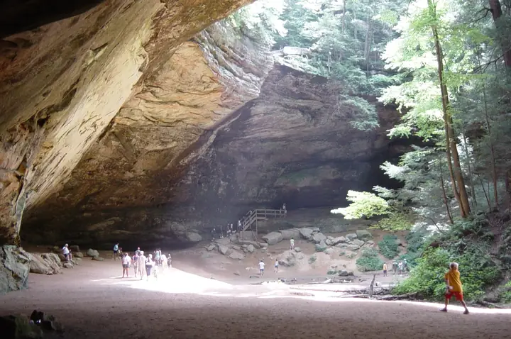 Caves & caverns12 show caverns, recess caves and rock shelters12 caves12 show caverns, recess caves and rock shelters, with a map.
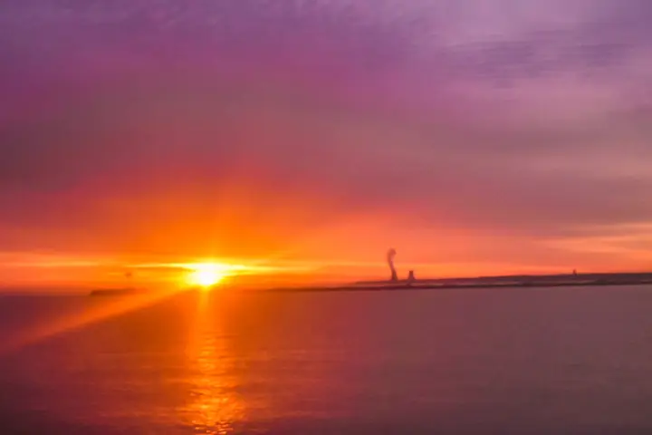 Lake Erie beaches20 public beaches, Conneaut to Toledo20 beaches20 public beaches from Conneaut to Toledo and the islands, with a map.
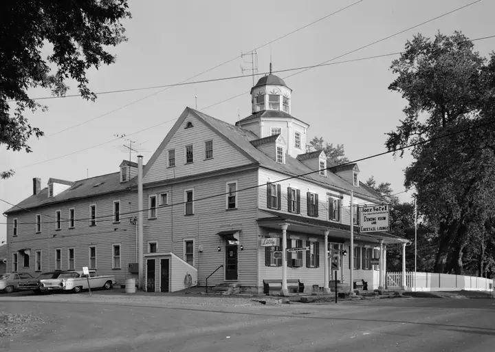 Historic sites40 places, from the frontier to the Civil War40 places40 places, from Fort Steuben and Zoar to Camp Chase and the Rankin House, from the frontier to the Civil War.
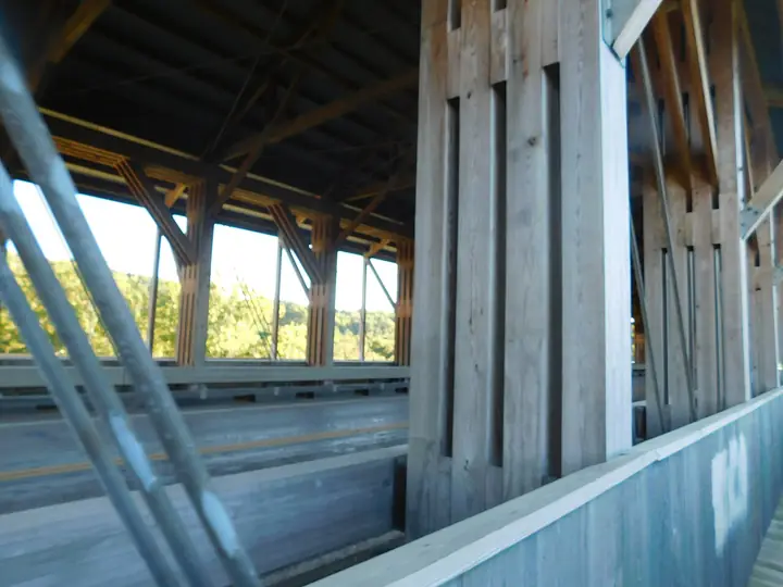 Road trips33 drives, from the Lincoln Highway to the Morgan Heritage Trail33 drives33 drives, from the Lincoln Highway to the Morgan Heritage Trail.
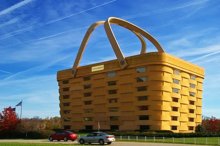 Oddities19 giants, ghosts and folk-art stops19 roadside stops19 giants, ghosts and folk-art stops, plus a Mothman just over the line.
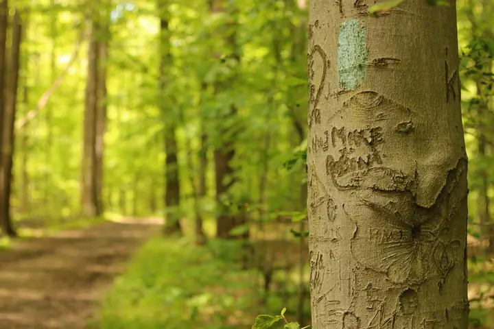 The Buckeye TrailA 1,444-mile loop, all 26 sections1,444 miles
New to the guide?
Six places to start
One from every corner of the state, each with its full story inside.
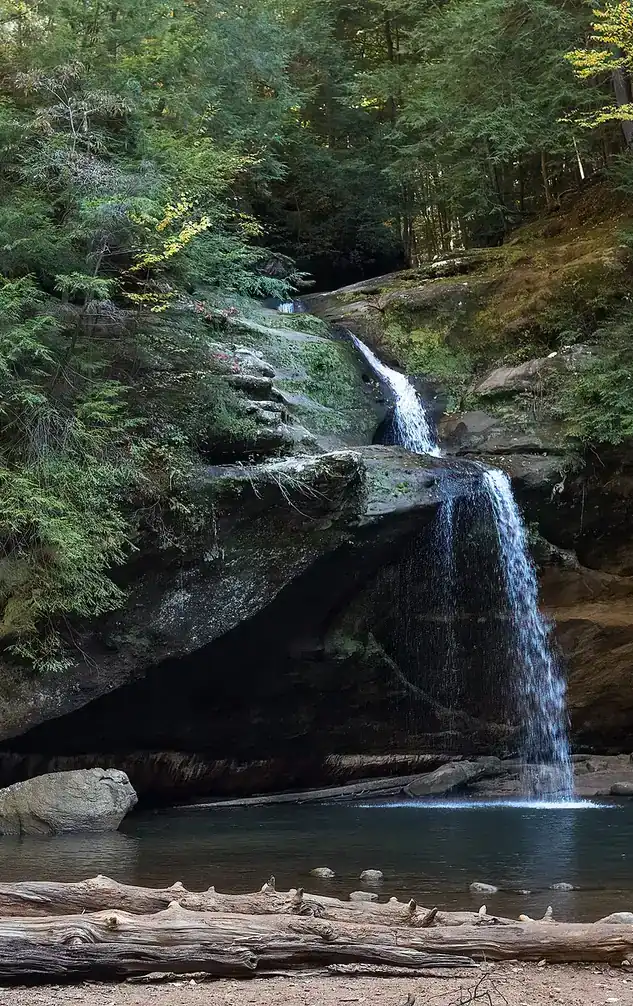
01Old Man's CaveHocking Hills · SoutheastA gorge of waterfalls and recess caves where a hermit is said to have lived, with the park's visitor center.
02Great Serpent MoundAdams County · SouthwestA gigantic earthen snake on a hilltop over Ohio Brush Creek, built by a people whose name is still argued over.
03Brandywine FallsCuyahoga Valley · NortheastThe tallest waterfall in Cuyahoga Valley National Park, reached by an easy boardwalk with an accessible upper overlook.
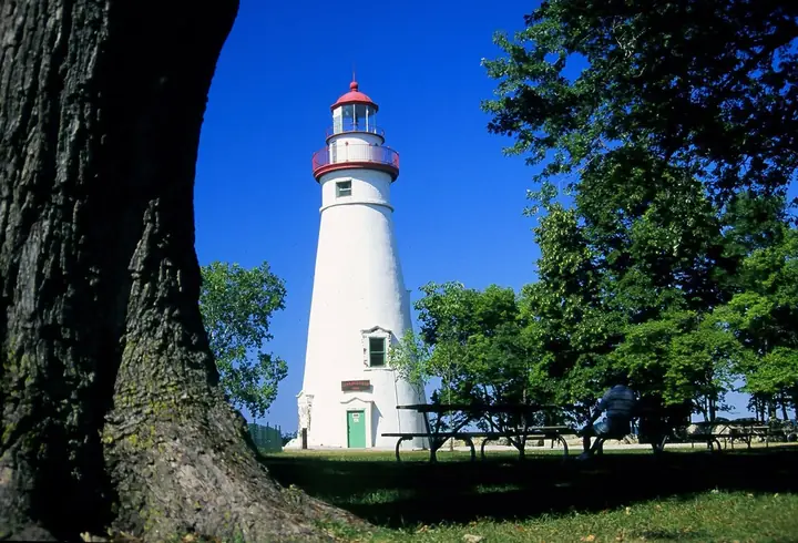
04Marblehead LighthouseMarblehead · Lake ErieThe oldest continuously operating lighthouse on the Great Lakes, lit since 1821, on nine acres of limestone shoreline.
05Zoar VillageTuscarawas County · EasternA well-preserved communal village founded by German separatists in 1817, on the Ohio & Erie Canal.
06Longaberger Basket BuildingNewark · CentralA seven-story office building shaped like a picnic basket, with handles that are heated in winter.
Plan a trip
Open the mapAll 365 places on one map. Filter by cabins, campsites, hunting, beaches and more.Explore the map →
Browse by countyPick any of Ohio's 88 counties and see its parks, mounds, waterfalls and historic sites.Find your county →
Build a tripSave places as you browse, then line them up into a weekend. Kept in your browser, nothing to sign up for.Start a trip →
Parks, forests & wildlife areas
Find a park
117 parks in 7 regions