Field NotesOhio
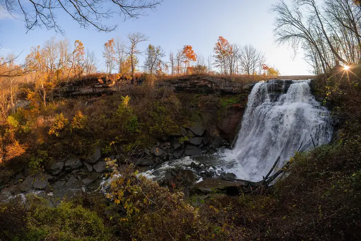
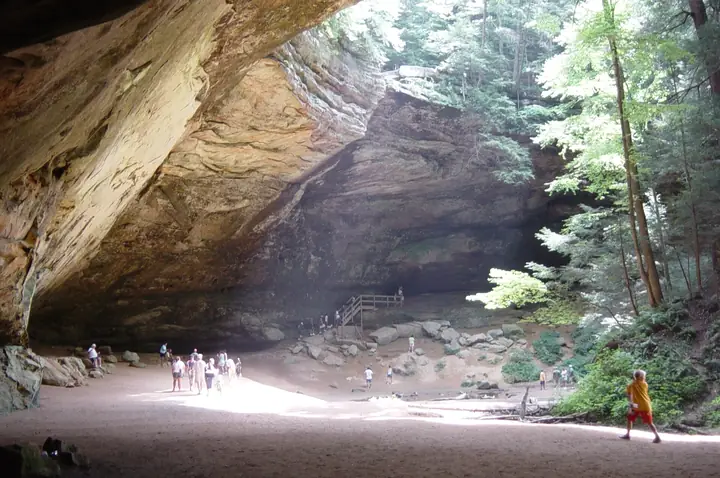
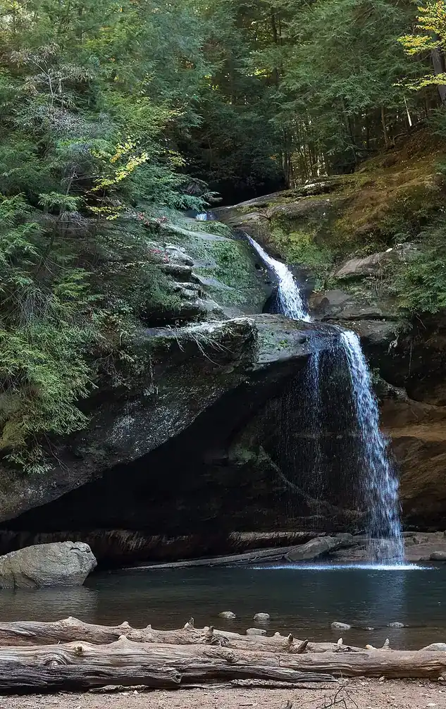
Upper Falls in the Old Man's Cave gorge, Hocking Hills, with visitors on the rocks

An independent field guide · 365 places

The field guide to outdoor Ohio

Parks and forests, ancient mounds, caves, waterfalls and back roads, with the story behind each place and where to eat and fuel up nearby.
Popular:
  • 117parks & forests
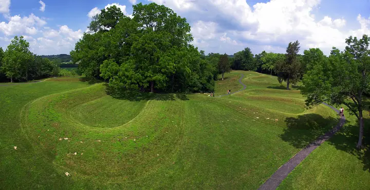
  • 64ancient mounds
  • 34waterfalls
  • 40historic sites
  • 33road trips

Old Man's Cave, Hocking Hills · Photo: Rhododendrites, CC BY-SA 4.0

Explore by type

What are you in the mood for?
See every place →

Plan a trip

Explore Ohio

One map for every park, mound, historic site, beach, cave, waterfall and oddity in the app.

Lake ErieWest Virginia36 places368 places813 places135 places523 places2321 places2124 places2416 places1613 places134 places418 places182 places217 places1710 places1014 places142 places27 places76 places613 places133 places34 places414 places143 places3Harrison Lake State Park2 places22 places22 places26 places64 places4

Tap a symbol for a preview, or search for a place. Open the key to show or hide categories.

Parks, forests & wildlife areas

Find a park

117 parks in 7 regions
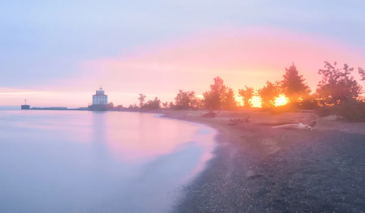
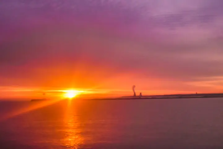
Sunset over Lake Erie from Headlands Beach

Headlands Beach State Park

Mentor · Lake County
Ohio Department of Natural Resources
125acres
—trail miles
—established

Headlands Beach State Park · Photo: Erik Drost, CC BY 2.0

9601 Headlands Rd, Mentor Directions →Official source →

The story of this land

Lake Erie was the highway. The Lake Trail, a heavily used Native path, ran along the south shore, first by the Iroquois and later by everyone else moving into the Ohio country. This stretch of shoreline was part of that route.

Northeastern Ohio went to Connecticut in the bargain where that state gave up its claim to everything running west to the Pacific. Connecticut called its 3.8 million acres the Western Reserve, and the proceeds from selling it were earmarked for Connecticut schools. The Connecticut Land Company bought the tract for roughly thirty-five cents an acre and started selling parcels. By 1800 about 1,300 people lived in the whole Reserve.

What survives here is the beach itself — a mile of natural sand, the longest in Ohio, backed at the eastern end by Headlands Dunes State Nature Preserve. That preserve protects one of the last remnants of Lake Erie dune habitat, where plants normally found on the Atlantic coast somehow persist. The old Fairport Harbor breakwall lighthouse stands offshore at the west end.

Things to do in the park

  • A mile of natural sand beach — the longest in Ohio
  • Headlands Dunes State Nature Preserve at the east end
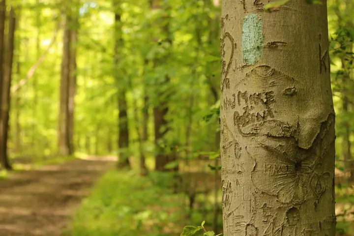
  • Northern terminus of the Buckeye Trail
  • Birding during spring and fall migration
  • Views of the offshore Fairport Harbor lighthouse

Trails

Maps, reviews and recent trail reports for Headlands Beach State Park.

Find trails on AllTrails →

Things to do nearby

  • Fairport Harbor Marine Museum and lighthouse
  • Mentor Headlands and the Grand River
  • James A. Garfield National Historic Site in Mentor
  • Lake Metroparks properties throughout the county

Visiting information you can trust

Content last reviewed
September 2026 — this is when Field Notes Ohio's content was last checked, not a live status.
Primary official source
ODNR park finder (search this park)
Location confidence
Verified property location
Headlands Beach State Park, 9601 Headlands Rd, Mentor
Check current conditions
Official conditions or closures
Hunting or permits
Not permitted. This is a day-use beach park.

Prices, hours, closures, campsite availability and trail conditions shown elsewhere on this page are not live — always confirm with the official source before you go.

Hiking trails

Short trails, including access into Headlands Dunes State Nature Preserve at the east end. The Buckeye Trail has its northern terminus here, which makes this the start or end point of a 1,400-mile walk.

Wildlife you might see

  • Rare Lake Erie dune plants, some with Atlantic coastal affinities
  • Major migratory bird stopover in spring and fall
  • Shorebirds and gulls along the beach
  • Monarch butterflies staging in late summer

Birding

Headlands Beach State Park sits on the Lake Erie shoreline, part of the same migration corridor that funnels warblers past Magee Marsh each May, plus gulls, terns and waterfowl through the colder months.

  • Bald Eagle
  • Eastern Kingbird
  • Mallard
  • Osprey
  • Barn Swallow
  • Wood Duck
  • Great Blue Heron
  • American Goldfinch
  • Belted Kingfisher
  • Common Loon (migrant)
  • Killdeer
  • Double-crested Cormorant

Early-to-mid May is peak songbird migration along the shore; late fall through winter brings waterfowl and gulls. For a full, current checklist, search this park's name on eBird's Hotspot Explorer.

Fishing

  • Lake Erie shoreline fishing: steelhead, smallmouth bass, yellow perch. Fairport Harbor nearby is a serious steelhead port.

Hunting

Not permitted. This is a day-use beach park.

The Beach That a Breakwall Built

Ohio's longest natural beach is not entirely natural. In the 1820s the federal government built a breakwall at the mouth of the Grand River to keep the harbor open, and Lake Erie began piling sand against it. Nearly the whole park, ODNR says, is made of sand that began depositing west of that wall. The park itself started in 1951 and 1952 as land bought west of Fairport Harbor, and it opened in 1953 as Painesville Beach State Park before being renamed Headlands Beach in 1955.

Behind the beach lies a second story about a river that moved. Until several hundred years ago, the Grand River reached the lake four miles to the west. When it found a shorter path, the old channel filled with silt and plants and became Mentor Marsh.

Behind the legend

Both the beach and the marsh are real, and both owe something to accident and engineering. Headlands Dunes State Nature Preserve, at the east end of the park, is one of the last good examples of Lake Erie beach and dune communities in the state. The marsh is Ohio's first state nature preserve, designated in 1971 five years after it became a National Natural Landmark. In the 1960s, salt-mine contamination let an invasive reed, Phragmites, take over the marsh for decades.

Even the popularity of the beach has a footnote. In 1957 the beach was closed for a time when Lake Erie's waves and undertow created safety problems, and swimmers used the creek instead until it was filled in. A lot of what the park calls natural is a partnership between the lake and a wall built for ships.

If you go

Walk the length of the beach to the breakwall and look at the lighthouse on its end. Then walk into the dunes preserve at the east end and stay on the boardwalks.

Mounds & earthworks near Headlands Beach State Park

Ancient earthworks within easy reach of this park. Tap one for its history, legends and visiting details.

Indian Point Park

Leroy Township · Lake County · Northeast Ohio
A short, steep walk climbs to a knife-edge ridge where two parallel earthen walls still cut off the point between Paine Creek and the Grand River.
National Register of Historic Places
About 7 miles from this park · Whittlesey people lived in the region about 900 to 1650 CE; the walls may be older

Historic sites near Headlands Beach State Park

Forts, villages, furnaces and lighthouses within reach of this park. Tap one for its story and visiting details.

Fairport Harbor Lighthouse and Marine Museum

Fairport Harbor · Lake County · Northeast Ohio
A 60-foot sandstone lighthouse and keeper's house museum a mile from the Buckeye Trail's northern terminus.
National Register of Historic Places
About 1 miles from this park · 1825 and 1871

James A. Garfield National Historic Site (Lawnfield)

Mentor · Lake County · Northeast Ohio
The Mentor home of the 20th president, where a candidate spoke from his front porch and a widow built the first presidential library.
National Historic Landmark
About 7 miles from this park · 1876–1881

Road trips through Headlands Beach State Park

Scenic byways and heritage drives that pass this park or run close to it.

Lake Erie Coastal Ohio Trail

Ohio's north coast
The northern end of the Buckeye Trail.
Scenic byway293 miles
Conneaut to Michigan border near Toledo

Beaches at Headlands Beach State Park

Lake Erie beach details for this park. Check for water advisories before you swim.

Headlands Beach State Park

Mentor · Lake County
Ohio's longest natural sand beach, 35 acres and about a mile long, with dunes, beach glass and the Buckeye Trail's northern terminus.
State parkAbout a mile
Lifeguards: Sources differ: some list summer lifeguards, one county tourism page says none

Oddities near Headlands Beach State Park

Roadside curiosities, legends and giant things within reach of this park.

The Free Stamp

Cleveland · Cuyahoga County
A 35-ton steel rubber stamp reading FREE, tipped on its side in a downtown Cleveland park after the company that commissioned it changed its mind.
Public art
About 27 miles from this park

The Buckeye Trail at Headlands Beach State Park

Ohio's 1,444-mile blue-blazed loop passes through or beside this park. Tap a section for its route, camping, water and resupply.

1 Burton Section

57 miles · Lake, Geauga, Portage
The northern terminus of the whole Buckeye Trail
3 parksTrail towns

Day-use only. No lifeguards on duty — Lake Erie rip currents are a real hazard here, especially with a north wind.

Where to camp nearby

Punderson State Park Campground
Wooded state campground, about 35 minutes southeast
Directions
Geneva State Park Campground
Lake Erie campground with a beach path, about 40 minutes east
Directions

Restaurants nearby

Brennan's Fish House
An area institution since 1966 — oysters, perch, huge portions. Open daily
Directions
Mason Social
Newer spot in Mentor with games and a big menu
Directions

Gas stations nearby

Headlands Convenient
Closest to the beach, opens 6 a.m. Good craft beer selection
Directions

Details last checked 2026-09-22. Confirm hours and prices before you go.

Know a place that belongs here, or spotted something out of date? Email hello@fieldnotesohio.com.