Field NotesOhio
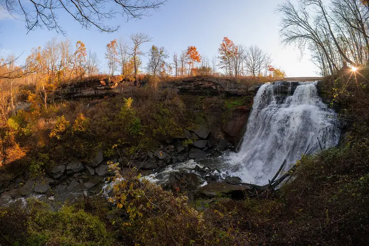
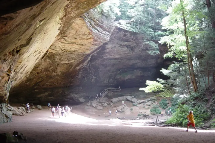
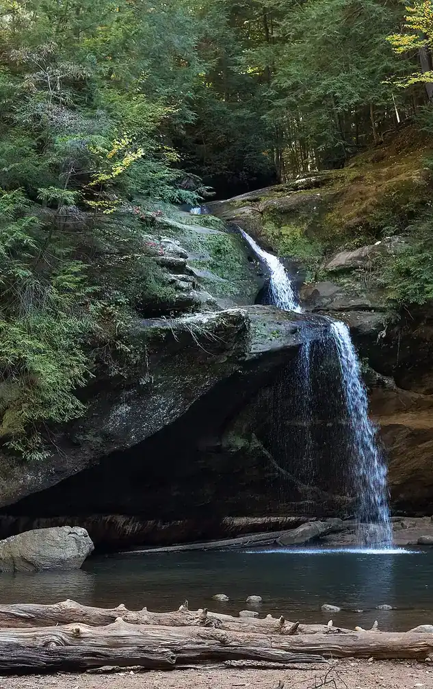
Upper Falls in the Old Man's Cave gorge, Hocking Hills, with visitors on the rocks

An independent field guide · 365 places

The field guide to outdoor Ohio

Parks and forests, ancient mounds, caves, waterfalls and back roads, with the story behind each place and where to eat and fuel up nearby.
Popular:
  • 117parks & forests
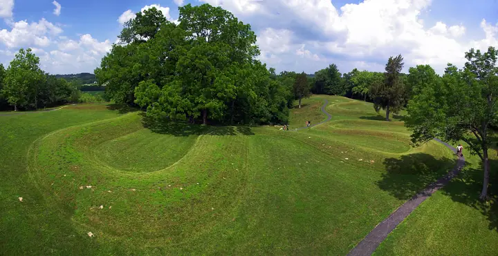
  • 64ancient mounds
  • 34waterfalls
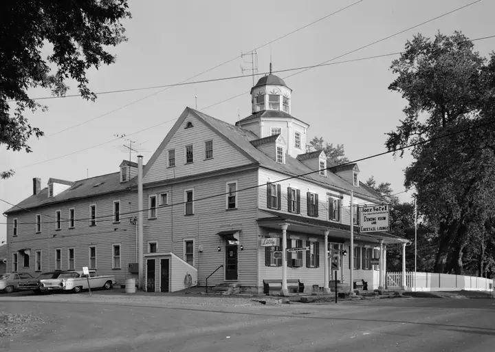
  • 40historic sites
  • 33road trips

Old Man's Cave, Hocking Hills · Photo: Rhododendrites, CC BY-SA 4.0

Explore by type

What are you in the mood for?
See every place →

Plan a trip

Explore Ohio

One map for every park, mound, historic site, beach, cave, waterfall and oddity in the app.

Lake ErieWest Virginia36 places368 places813 places135 places523 places2321 places2124 places2416 places1613 places134 places418 places182 places217 places1710 places1014 places142 places27 places76 places613 places133 places34 places414 places143 places3Harrison Lake State Park2 places22 places22 places26 places64 places4

Tap a symbol for a preview, or search for a place. Open the key to show or hide categories.

Parks, forests & wildlife areas

Find a park

117 parks in 7 regions

Wolf Run State Park

Caldwell · Noble County
Ohio Department of Natural Resources
1,266acres
0.3trail miles
1963established
16170 Wolf Run Rd, Caldwell Directions →Official source →

The story of this land

Noble County has a distinction nowhere else in Ohio can claim: it was the last of the state's eighty-eight counties to be formed, organized in 1851, more than half a century after the surrounding country was settled. The reason is topography. This is rough, folded hill country on the unglaciated plateau, hard to farm and harder to reach, and it filled in slowly while easier ground went first.

The opening came in 1795, when the Treaty of Greenville was signed and organized Native resistance in this part of Ohio ended. Settlement followed, but it stayed thin. What the county eventually became known for is underground — Noble County produced oil from some of the earliest wells in the United States, and the country around Caldwell has been drilled, in one form or another, for well over a century.

The state bought the land here in 1963 and dedicated Wolf Run as a park in 1968. What it offers is modest and specific: a clear 220-acre lake known for being unusually clean by Ohio standards, a campground close to the water, and a 3.5-mile section of the Buckeye Trail running the western shore before continuing north and south beyond the park. It's a quiet place, close enough to I-77 to be easy and far enough from anything to stay uncrowded.

Things to do in the park

  • Swim at the beach — the clear water is the park's calling card
  • A 3.5-mile stretch of the Buckeye Trail along the western shore
  • Scuba diving, which the lake's clarity actually supports
  • Nature center near the park entrance
  • Quiet campground within walking distance of the lake

Trails

Maps, reviews and recent trail reports for Wolf Run State Park.

Find trails on AllTrails →

Things to do nearby

  • Seneca Lake, a short drive north
  • Salt Fork State Park, about 30 minutes north
  • Caldwell's small downtown and the Noble County oil history
  • The Wilds safari park, roughly 40 minutes

Visiting information you can trust

Content last reviewed
September 2026 — this is when Field Notes Ohio's content was last checked, not a live status.
Primary official source
ODNR park finder (search this park)
Location confidence
Verified property location
Wolf Run State Park, 16170 Wolf Run Rd, Caldwell
Check current conditions
Official conditions or closures
Reservations or tickets
ReserveOhio — camping and cabin bookings
Hunting or permits
Permitted in designated areas with a valid Ohio license. The surrounding Noble County hill country holds substantial public and private hunting ground.

Prices, hours, closures, campsite availability and trail conditions shown elsewhere on this page are not live — always confirm with the official source before you go.

Hiking trails

Three trails. The Cherry Tree Trail is a 0.3-mile out-and-back loop from the nature center near the park entrance; the Lakeview Trail runs 1 mile between the campground and the beach; and a 3.5-mile section of the Buckeye Trail follows the west side of the lake, continuing north and south beyond park boundaries.

Wildlife you might see

  • White-tailed deer and wild turkey
  • Waterfowl on the lake
  • Woodland songbirds through the hill country
  • Wildflowers in spring along the Buckeye Trail section

Birding

Wolf Run State Park's lake and wooded shoreline draw both forest songbirds and lake-edge waterbirds — scan the open water for waterfowl and raptors, and the treeline for songbirds.

  • Eastern Towhee
  • Ring-billed Gull
  • Scarlet Tanager
  • Indigo Bunting
  • Canada Goose
  • White-breasted Nuthatch
  • Brown Thrasher
  • Mallard
  • Carolina Chickadee
  • Orchard Oriole
  • Wood Duck
  • Tufted Titmouse

March–April and October–November for migrating waterfowl and raptors; June–July for nesting grassland and marsh birds. For a full, current checklist, search this park's name on eBird's Hotspot Explorer.

Fishing

  • Wolf Run Lake (220 acres): largemouth bass, bluegill, crappie, catfish. The lake is noted for unusually clear water, which makes it popular with scuba divers as well as anglers.

Hunting

Permitted in designated areas with a valid Ohio license. The surrounding Noble County hill country holds substantial public and private hunting ground.

Getting on the water

220 acres of notably clear water — clear enough that scuba divers use it, which is not something you can say about most Ohio lakes. Quiet, small-craft water with a beach and a trail running the whole west shore.

Launches & facilities

Boat launch
Access to Wolf Run Lake.
Swimming beach
Connected to the campground by the 1-mile Lakeview Trail.
Shoreline fishing
Accessible around much of the lake.

Good to know

  • The water clarity is the reason to come — bring a mask, or a boat you can see the bottom from.
  • The Buckeye Trail section here connects well beyond the park if you want a longer day.
  • Caldwell is only a few minutes off I-77, which makes this an easy stop on a longer drive.

The Last County

Noble County has a distinction that no other place in Ohio can claim. Of the state's 88 counties, it was the last one formed, organized in 1851, more than half a century after the country around it was settled. The hills here are rough and folded, hard to farm and harder to reach, and the easier ground filled in first.

What Noble County became known for lay underground. Its wells were among the earliest oil wells in the United States, and the country around Caldwell has been drilled, one way or another, for over a century.

Behind the legend

The county history is a clean fact, and the topography explains it. The opening for settlement came with the Treaty of Greenville in 1795, which ended organized Native resistance in this part of Ohio, but settlement stayed thin. The park is a much younger chapter. The state bought the land in 1963 and dedicated Wolf Run as a park in 1968.

What it offers now is modest and specific: a clear 220-acre lake known for being unusually clean by Ohio standards, a campground close to the water, and a 3.5-mile section of the Buckeye Trail along the western shore.

If you go

Hike the Buckeye Trail along the western shore, then drive to Caldwell and see the oil country that made the county's name.

Road trips through Wolf Run State Park

Scenic byways and heritage drives that pass this park or run close to it.

Appalachian Byway

Southeast Ohio
A lake and campground near Caldwell.
Scenic byway115 miles
Hannibal, on the Ohio River to Nelsonville

Oddities near Wolf Run State Park

Roadside curiosities, legends and giant things within reach of this park.

Big Muskie's Bucket

McConnelsville · Morgan and Noble counties
The bucket of the world's largest dragline, big enough to climb inside.
Machine relic
About 20 miles from this park

The Buckeye Trail at Wolf Run State Park

Ohio's 1,444-mile blue-blazed loop passes through or beside this park. Tap a section for its route, camping, water and resupply.

5 Belle Valley Section

58 miles · Guernsey, Noble
Loop hikes and a campground on the route
4 parks

Campsites

Non-electric site
Wooded campground near the lake
$21–25/night
Electric site
Limited electric sites available
$31–35/night

On site

  • Showers and flush toilets
  • Nature center
  • Swimming beach
  • Boat launch
  • Picnic areas
Continue to ReserveOhio →
Field Notes Ohio isn't connected to ReserveOhio, so it can't hold a site or take payment. Tapping through opens it in a new tab — search "Wolf Run State Park" there to finish reserving.
Prefer the phone?740-732-5035

Restaurants nearby

Wolf Run Drive In
Coney dogs and milkshakes right by the park. Hours can be unpredictable — call ahead
Directions
Patty's Place
Opens 7 a.m. daily. Small-town family cooking; the pies have a following
Directions
Wings Etc.
Off I-77, open late, reliable when everything else has closed
Directions

Gas stations nearby

Pilot Travel Center
24 hours off I-77 exit 25. Tight lot for big rigs
Directions
Caldwell Food Center Marathon
In town, opens 6 a.m., groceries alongside fuel
Directions

Details last checked 2026-09-22. Confirm hours and prices before you go.

Know a place that belongs here, or spotted something out of date? Email hello@fieldnotesohio.com.