Field NotesOhio
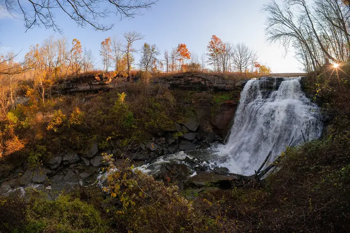
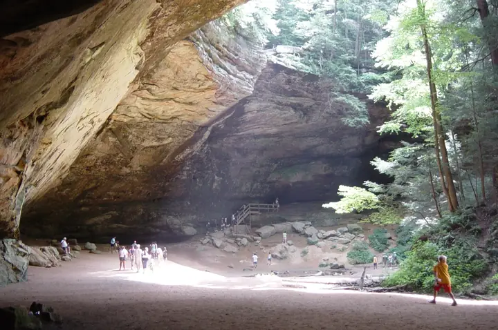
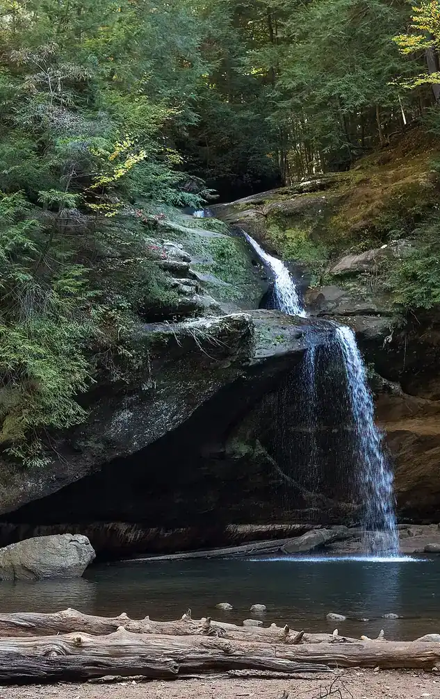
Upper Falls in the Old Man's Cave gorge, Hocking Hills, with visitors on the rocks

An independent field guide · 365 places

The field guide to outdoor Ohio

Parks and forests, ancient mounds, caves, waterfalls and back roads, with the story behind each place and where to eat and fuel up nearby.
Popular:
  • 117parks & forests
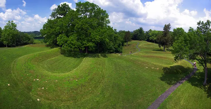
  • 64ancient mounds
  • 34waterfalls
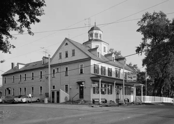
  • 40historic sites
  • 33road trips

Old Man's Cave, Hocking Hills · Photo: Rhododendrites, CC BY-SA 4.0

Explore by type

What are you in the mood for?
See every place →

Plan a trip

Explore Ohio

One map for every park, mound, historic site, beach, cave, waterfall and oddity in the app.

Lake ErieWest Virginia36 places368 places813 places135 places523 places2321 places2124 places2416 places1613 places134 places418 places182 places217 places1710 places1014 places142 places27 places76 places613 places133 places34 places414 places143 places3Harrison Lake State Park2 places22 places22 places26 places64 places4

Tap a symbol for a preview, or search for a place. Open the key to show or hide categories.

Parks, forests & wildlife areas

Find a park

117 parks in 7 regions

Blue Hen Falls

Boston Township · Summit County
Plunge falls over a shale ledge into a narrow wooded ravine
15 ftheight
Moderatehike

A small, photogenic shale ledge waterfall in a quiet Cuyahoga Valley ravine, reached by an easy to moderate hike on the Buckeye Trail.

Height
About 15 feet
Trail
About 1.2 to 1.3 miles round trip, dirt path
Managed by
National Park Service, Cuyahoga Valley National Park
Best time
After rain, spring snowmelt, or winter ice
Fee
Free
Nearby
Trail continues downstream to Buttermilk Falls

When it flows

Fed by a small tributary called Spring Creek, so it is at its best after rain, during spring snowmelt, and when it freezes into ice columns in winter; it can slow to a trickle in a dry late summer.

The story

Blue Hen Falls drops over a ledge of Cleveland shale that is softer and less resistant than the sandstone caprocks at falls like Brandywine, which is part of why it is smaller and more delicate. The surrounding ravine was shaped by the same postglacial stream erosion that cut the rest of the Cuyahoga Valley's side gorges after the last ice age.

During Prohibition in the 1920s and early 1930s the Cuyahoga Valley was known for hidden stills and speakeasies, including the nearby Jaite paper-mill town and the tavern later restored as the park's Canal Exploration Center. Local tradition holds that the falls took its name from a flock of blue hens, a breed of fighting chicken, kept by moonshiners who ran a still in these woods, though park historians note there is no documented record confirming the story. The land became part of the National Park Service's Cuyahoga Valley holdings as the recreation area was assembled in the 1970s.

The falls sits directly on the Buckeye Trail, but that Cuyahoga Valley stretch is not one of the named sections in the given Buckeye Trail id list, so no bt id is assigned.

Stay behind railings and on marked trails. Wet rock at the top and base of a falls is slick in every season, and most Ohio falls do not allow swimming, wading or climbing. Flow depends on rain: many falls are a trickle in late summer and at their best after a wet spell, in spring, or frozen in a hard winter.

Visiting information you can trust

Content last reviewed
September 2026 — this is when Field Notes Ohio's content was last checked, not a live status.
Primary official source
Official page
Location confidence
Verified property location
Published coordinates for the falls or its trailhead
Check current conditions
Official conditions or closures

Prices, hours, closures, campsite availability and trail conditions shown elsewhere on this page are not live — always confirm with the official source before you go.

The bootlegger's blue hens

During Prohibition, the story goes, a moonshiner hid a still in the ravine below the falls and kept a flock of blue hens, a prized fighting-chicken breed, near his operation. Word of the birds spread among locals, and in time people started calling the waterfall itself Blue Hen Falls.

Behind the legend

Park rangers and historians who have looked into the name say this is the most commonly repeated explanation, but no deed, newspaper account, or other record has turned up to confirm a still or a flock of chickens at this spot. The Cuyahoga Valley genuinely was a Prohibition-era smuggling corridor, so the story is plausible, but the name's true origin is undocumented.

If you go

Treat it as local folklore rather than fact, and enjoy the short hike out and back on the Buckeye Trail; the ravine is prettiest a day or two after rain or when it ices over in winter.

Getting to the falls

About 1.2 to 1.3 miles round trip on the Buckeye Trail from the Boston Mills Road trailhead, on a dirt path with some roots, rocks, and a modest elevation change into the ravine.

Status
Open
Hours
24 hours, though hiking after dark is not recommended
Cost
Free
Phone
440-717-3890
Managed by
National Park Service (Cuyahoga Valley National Park)
Please note
Stay on the marked trail, no swimming, watch footing near wet rock, dogs permitted on leash
Address
Boston Mills Road near Riverview Road, Peninsula, OH 44264 (Boston Mill Visitor Center, 6947 Riverview Road, is the nearest formal parking reference)
Official page →DirectionsShow on the map

Trails close for repairs, ice and high water. Check the official page before a long drive.

More falls nearby

Brandywine Falls
About 2 miles · 60 to 65 ft
Open
Bridal Veil Falls
About 8 miles · 20 ft
Open
Great Falls of Tinkers Creek
About 9 miles · 15 to 20 ft
Open
Chagrin Falls
About 15 miles · 20 ft
Open

Parks nearby

Cuyahoga Valley National Park
The falls is inside this park
Open
Brecksville Reservation
About 3 miles · Adjoining Cleveland Metroparks reservation
Open
Hinckley Reservation
About 8 miles · Cleveland Metroparks reservation
Open
Bedford Reservation
About 8 miles · Cleveland Metroparks reservation
Open
Sand Run Metro Park
About 9 miles · Summit Metro Parks property
Open
Tinkers Creek State Park
About 10 miles · Nearby nature preserve
Open
Portage Lakes State Park
About 20 miles · Summit Metro Parks property
Open

Road trips

Ohio & Erie Canalway Scenic Byway
A road trip that passes near this falls
Open

Buckeye Trail

Akron Section
On or near the Buckeye Trail
Open

Details last checked 2026-09-22. Confirm hours and prices before you go.

Know a place that belongs here, or spotted something out of date? Email hello@fieldnotesohio.com.