Field NotesOhio
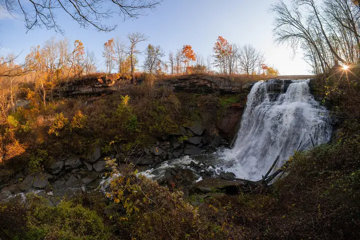
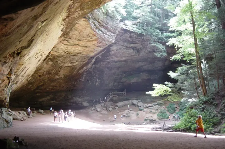
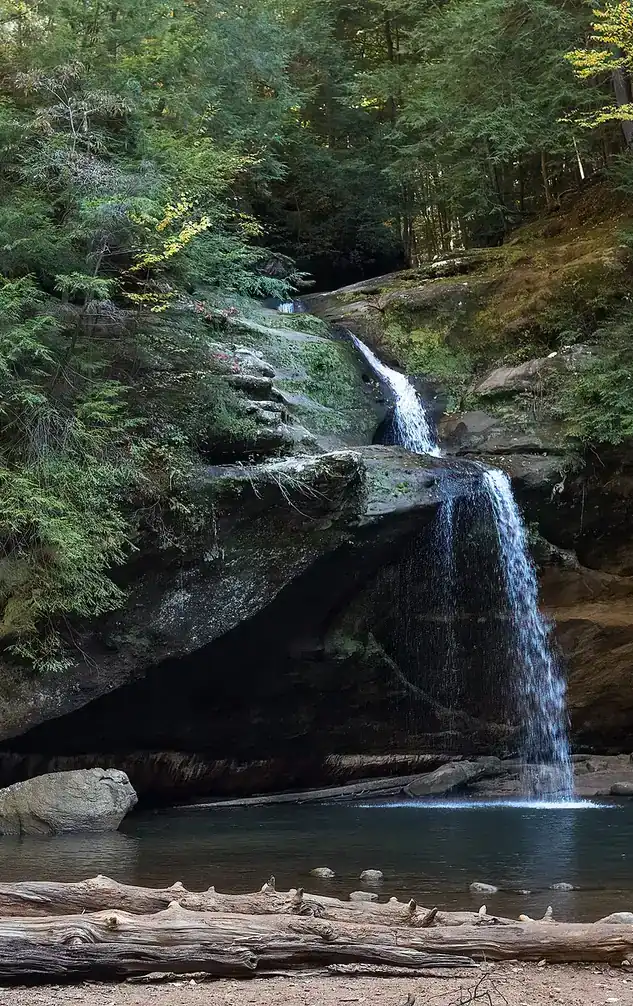
Upper Falls in the Old Man's Cave gorge, Hocking Hills, with visitors on the rocks

An independent field guide · 365 places

The field guide to outdoor Ohio

Parks and forests, ancient mounds, caves, waterfalls and back roads, with the story behind each place and where to eat and fuel up nearby.
Popular:
  • 117parks & forests
  • 64ancient mounds
  • 34waterfalls
  • 40historic sites
  • 33road trips

Old Man's Cave, Hocking Hills · Photo: Rhododendrites, CC BY-SA 4.0

Explore by type

What are you in the mood for?
See every place →

Plan a trip

Explore Ohio

One map for every park, mound, historic site, beach, cave, waterfall and oddity in the app.

Lake ErieWest Virginia36 places368 places813 places135 places523 places2321 places2124 places2416 places1613 places134 places418 places182 places217 places1710 places1014 places142 places27 places76 places613 places133 places34 places414 places143 places3Harrison Lake State Park2 places22 places22 places26 places64 places4

Tap a symbol for a preview, or search for a place. Open the key to show or hide categories.

Parks, forests & wildlife areas

Find a park

117 parks in 7 regions

Falls of Nelson-Kennedy Ledges State Park

Garrettsville · Portage County
Small ledge and cascade falls set among massive Sharon conglomerate rock formations and crevices
10 to 50 ftheight
Moderatehike
Yesaccessible overlook

Waterfalls tucked among towering conglomerate rock walls and slot like crevices, including a new glass walkway overlook, in a small state park near Garrettsville.

Height
Minnehaha Falls about 10 feet; Cascade Falls reported around 50 feet
Trail
Color coded trails, roughly half a mile to a mile
Managed by
Ohio Department of Natural Resources
Best time
Spring and after rain; can run dry in late summer
Fee
Free
Feature
137 foot glass walkway overlook opened 2025

When it flows

Both falls depend on small headwater creeks and can shrink to almost nothing in a dry summer; they run best in spring and after rain, and the deep, shaded crevices in the park hold ice and even snow well into spring.

The story

The ledges are made of Sharon conglomerate, a coarse, pebbly sandstone laid down by ancient braided rivers roughly 300 million years ago. Later stream erosion and rockfall opened up the deep, narrow crevices, caves, and rock corridors the park is known for, including formations nicknamed Devil's Icebox and Old Maid's Kitchen, and the same erosional process created the park's small waterfalls where headwater creeks drop over the resistant conglomerate.

The land that became Nelson-Kennedy Ledges State Park was assembled from the separate Nelson Ledges and Kennedy Ledges properties and established as a state park in 1949. The deep, cool crevices are noted for holding ice and unusual microclimates that support plants more typical of colder regions, and the park has long been popular with local families and rock scramblers; a glass walkway added at the Falls Edge overlook in 2025 gave visitors an easier, accessible way to view the gorge and Minnehaha Falls.

Sources differ on whether the park has one named falls or two. Minnehaha Falls, near the new glass walkway, and Cascade Falls, on Crystal Creek elsewhere in the park, are treated here as one combined entry because they sit inside the same small state park and are usually visited together. Cascade Falls in particular is reported by only a few informal sources and its 50 foot height figure is not confirmed by ODNR.

Stay behind railings and on marked trails. Wet rock at the top and base of a falls is slick in every season, and most Ohio falls do not allow swimming, wading or climbing. Flow depends on rain: many falls are a trickle in late summer and at their best after a wet spell, in spring, or frozen in a hard winter.

Visiting information you can trust

Content last reviewed
September 2026 — this is when Field Notes Ohio's content was last checked, not a live status.
Primary official source
Official page
Location confidence
Verified property location
Published coordinates for the falls or its trailhead
Check current conditions
Official conditions or closures

Prices, hours, closures, campsite availability and trail conditions shown elsewhere on this page are not live — always confirm with the official source before you go.

Getting to the falls

A network of color coded trails from about half a mile to a mile in length winds through narrow rock crevices and past formations like Devil's Icebox and Old Maid's Kitchen to reach the falls; a newer 137 foot glass walkway at the Falls Edge overlook gives an accessible view toward Minnehaha Falls without a full hike.

Status
Open
Hours
Half hour before sunrise to half hour after sunset
Cost
Free
Phone
330-235-0030
Managed by
Ohio Department of Natural Resources, Division of Parks and Watercraft
Please note
Stay on established trails, no off trail hiking, no glass or disposable beverage containers, carry in carry out, wear sturdy footwear
Address
Ohio Route 282, Nelson Township, OH 44231
Official page →DirectionsShow on the map

Trails close for repairs, ice and high water. Check the official page before a long drive.

More falls nearby

Affelder Falls
About 15 miles · 20 ft
Open
Chagrin Falls
About 20 miles · 20 ft
Open

Parks nearby

Nelson-Kennedy Ledges State Park
The falls is inside this park
Open
Punderson State Park
About 13 miles · Geauga County state park
Open
West Branch State Park
About 14 miles · Portage County state park
Open

Caves

Nelson-Kennedy Ledges (Devil's Icebox and fissure passages)
Rock fissures and passages
Open
Old Maid's Kitchen (Mary Campbell Cave)
Rock shelter (sandstone)
Open

Details last checked 2026-09-22. Confirm hours and prices before you go.

Know a place that belongs here, or spotted something out of date? Email hello@fieldnotesohio.com.